diary

I have been on a 50 state, 2500 location, 24000 mile trek across North America. These are the stories along the Way.

everywhere signs

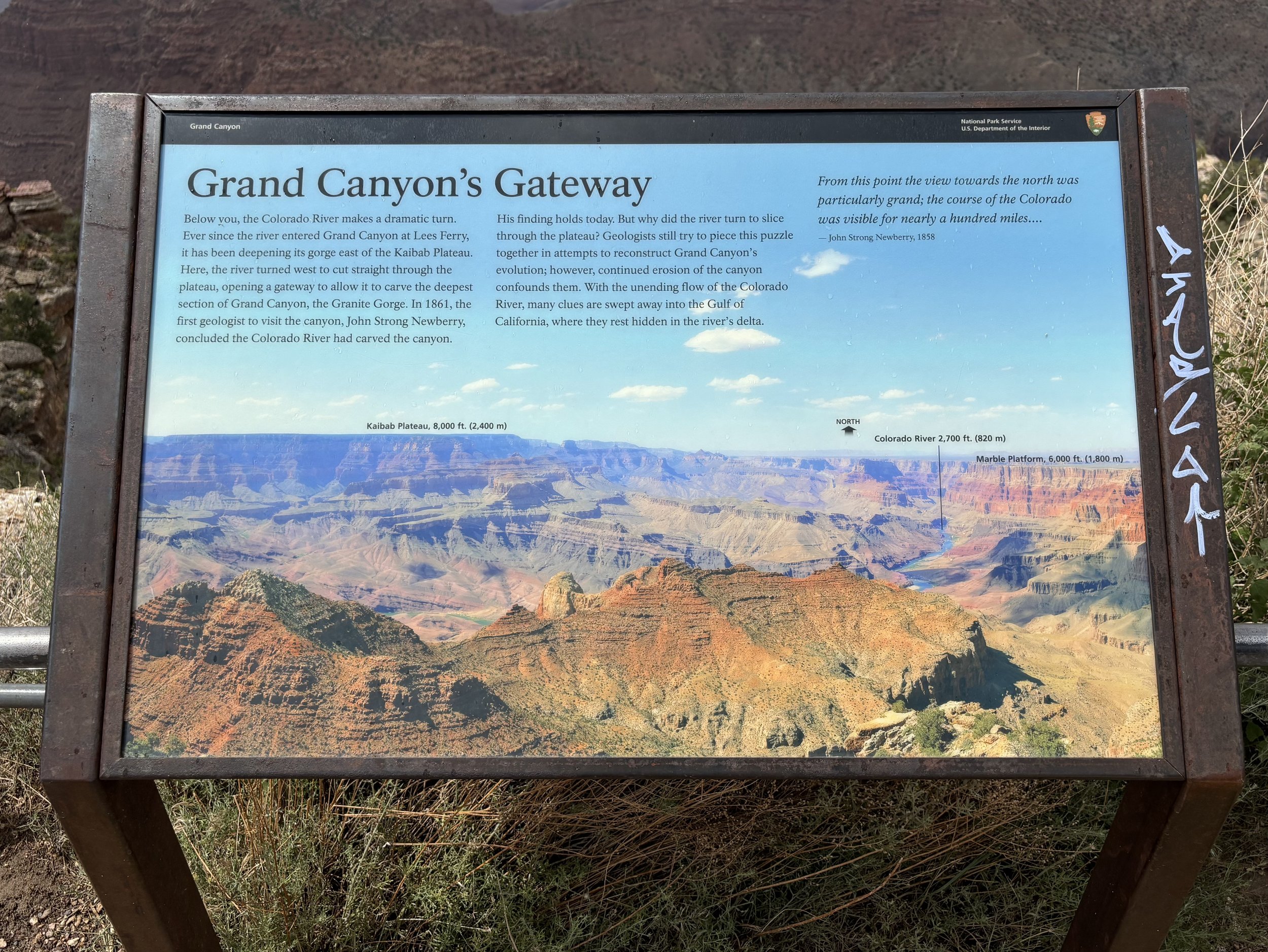
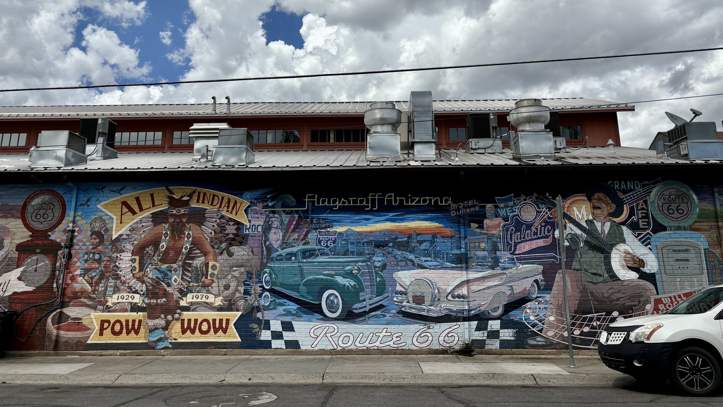
Flagstaff has an interesting variety of signs, painted and shaped. If you’re driving downtown east/west, the back wall of the Lumberyard Brewing Company is sure to capture attention.

The Motel Downtowner sign is perched high atop a tower for all to see, servicing the traffic along Route 66 from 1921 to 1935. Grand Canyon Cafe unfortunately closed, but recently repurposed into Proper Meats + Provisions.

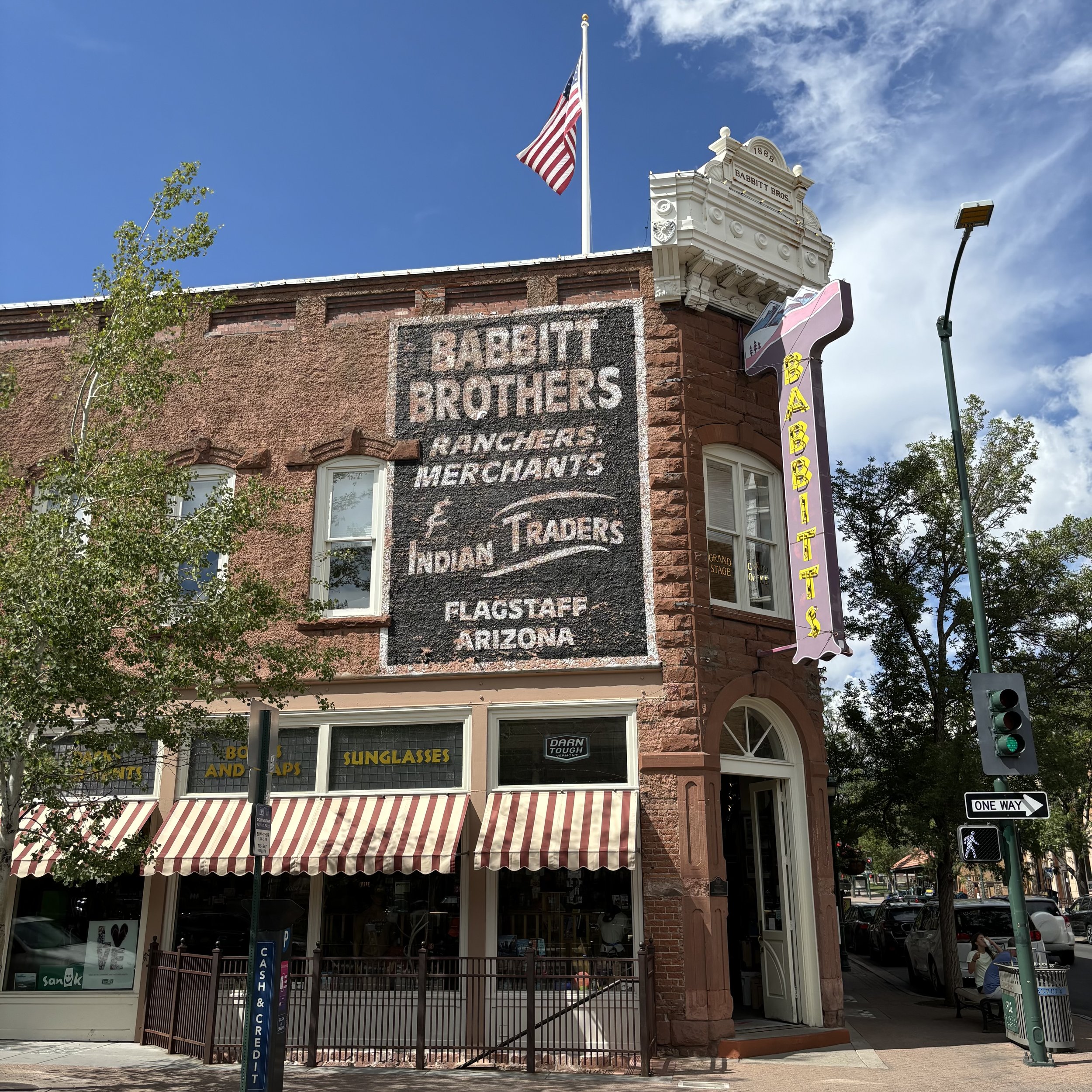
Absolute Bikes hosts a whimsical scene by Lyle Motley along the western wall of the building. You can view the two month creative process here. Babbit’s Backcountry Outfitters is family-run business with a nostalgic combination of signage and custom lettering painted on the brick above the entrance.

One of the most striking and arguably largest mural in Arizona, Sound of Flight, accompanies the historical 125 year old Orpheum Theatre. The birds are lit in an ethereal way, leading the eyes toward the clouds and roofline.

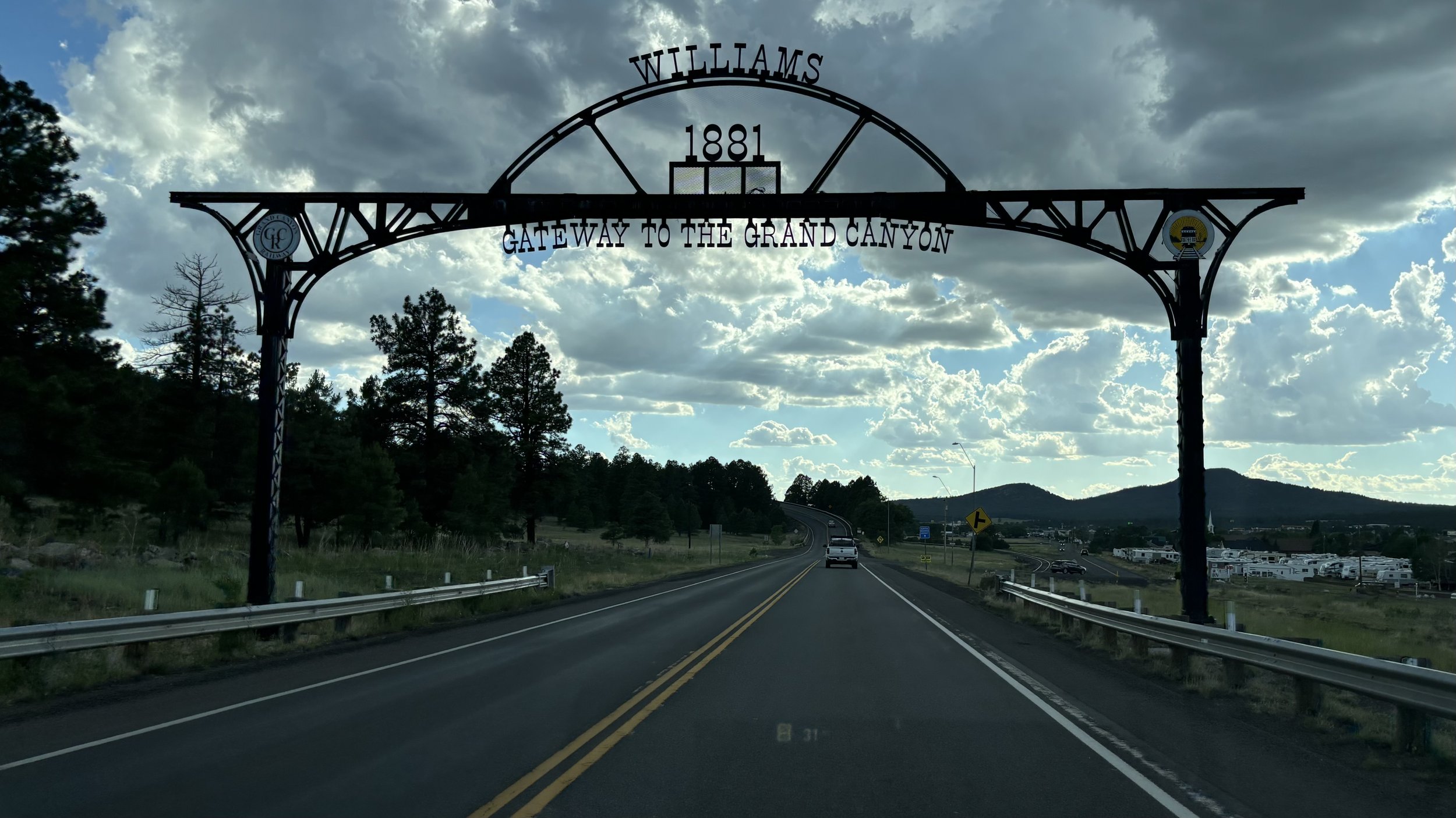
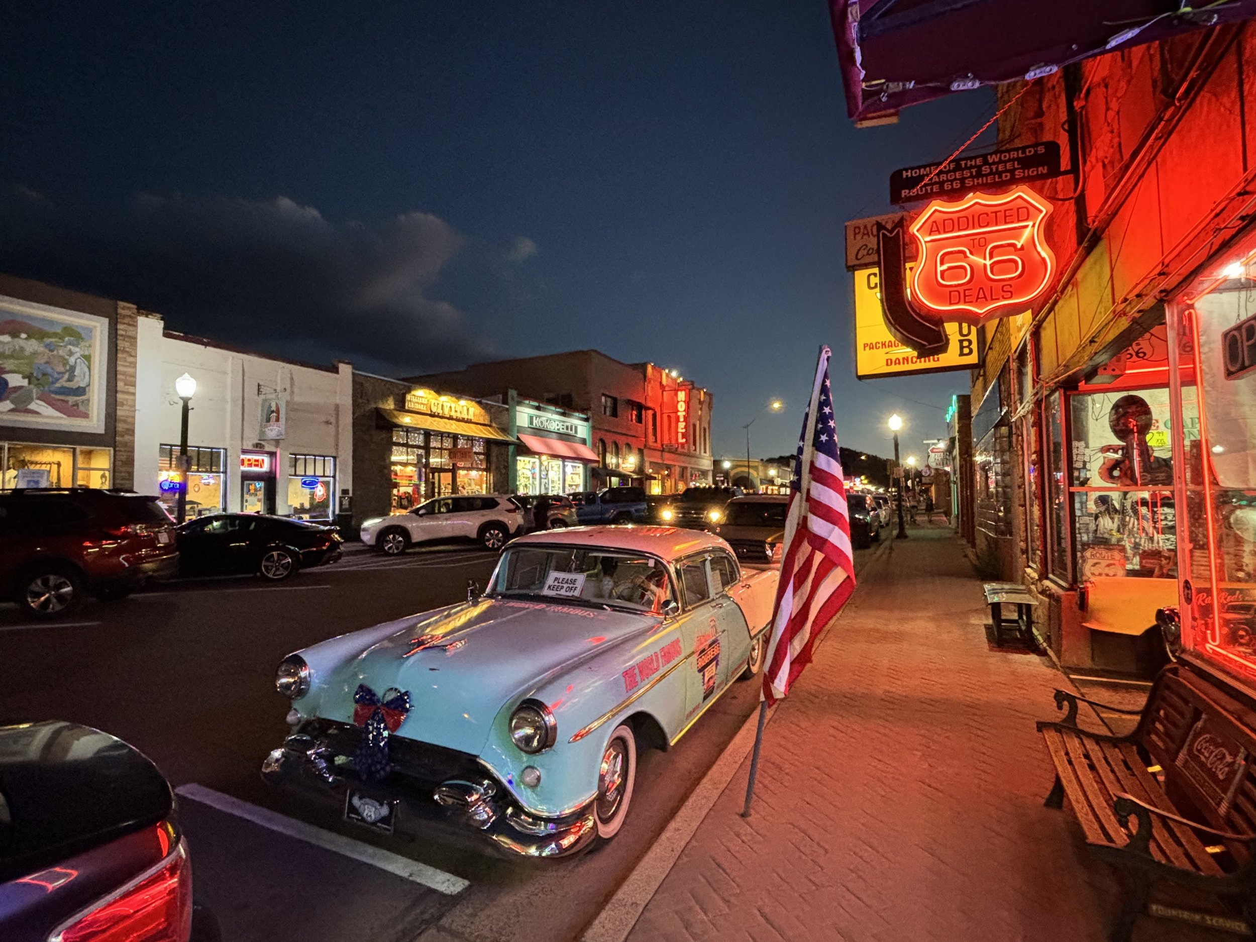
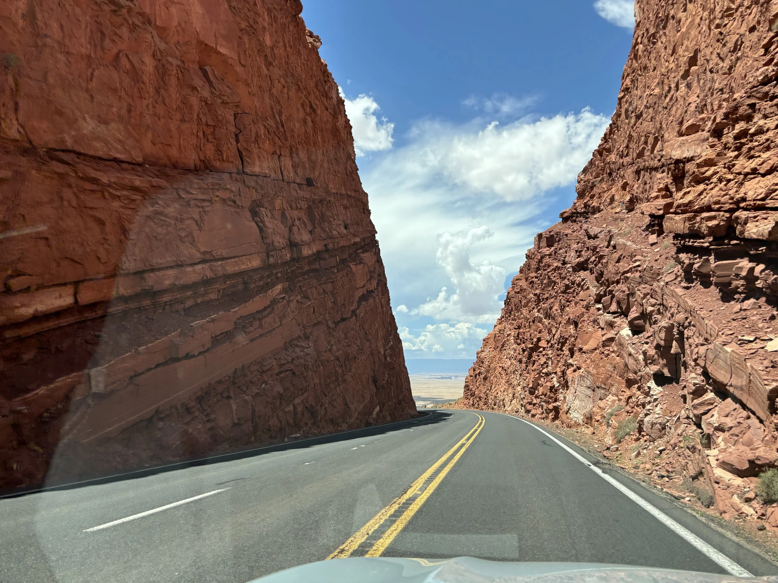
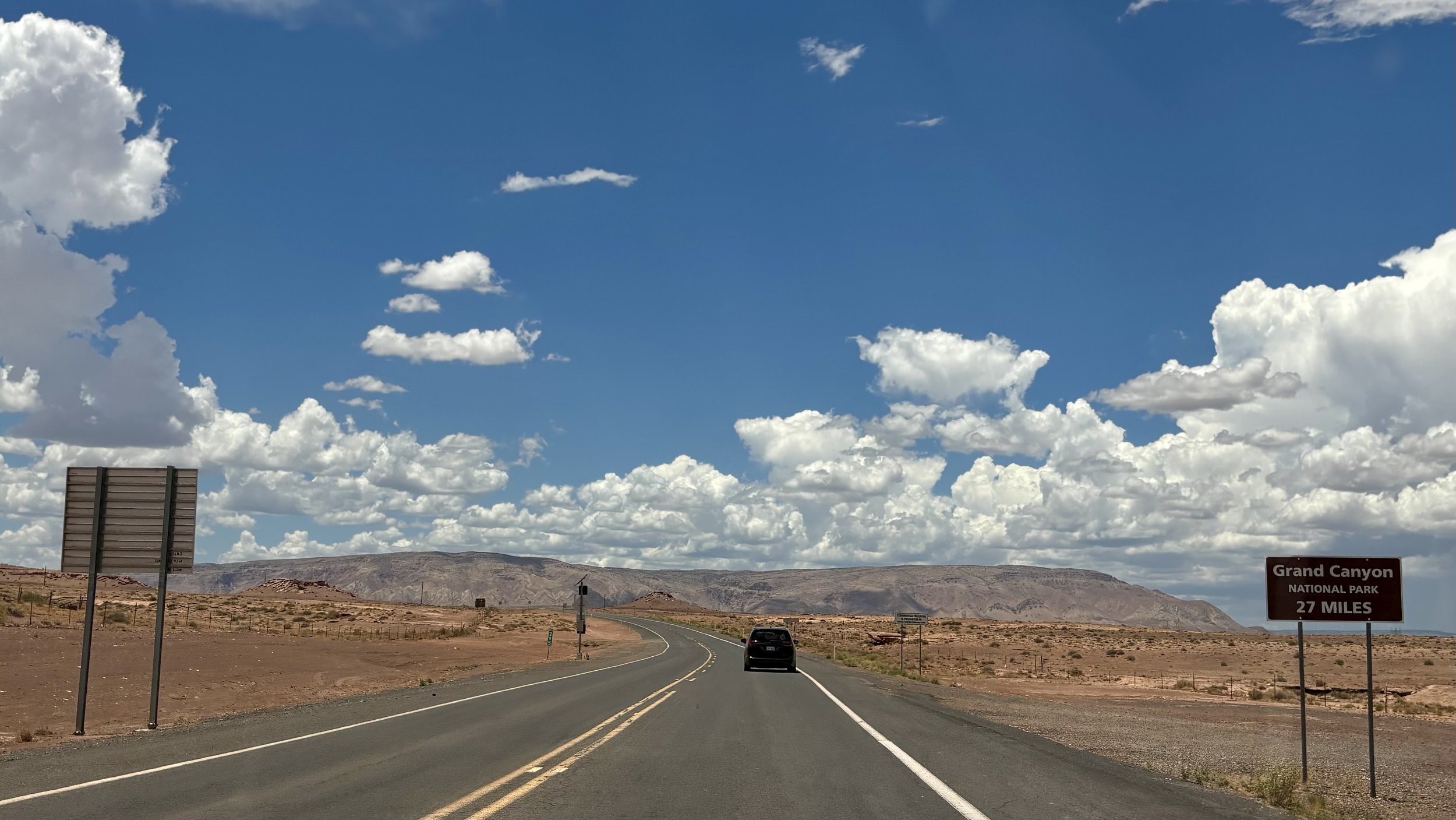
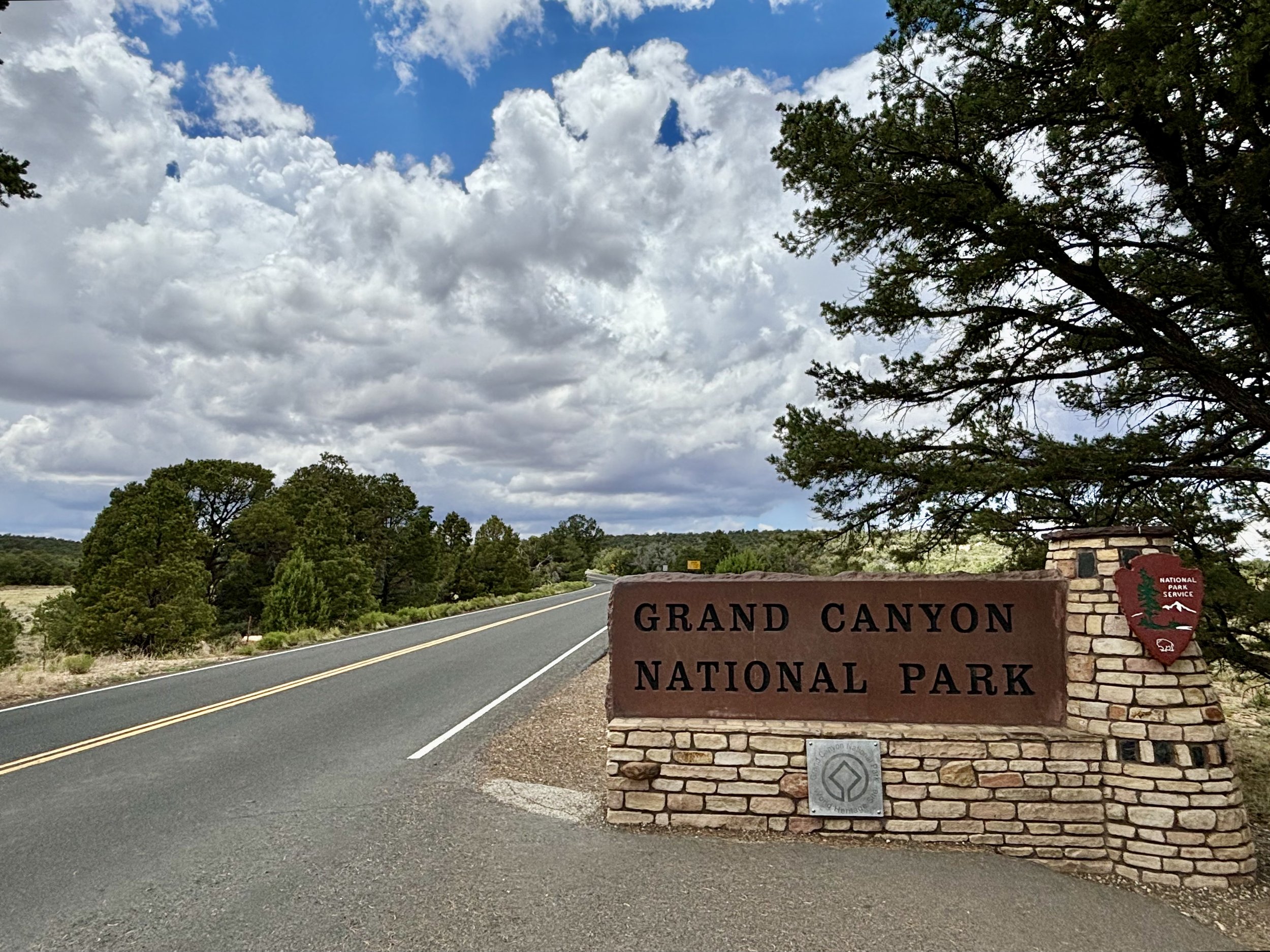
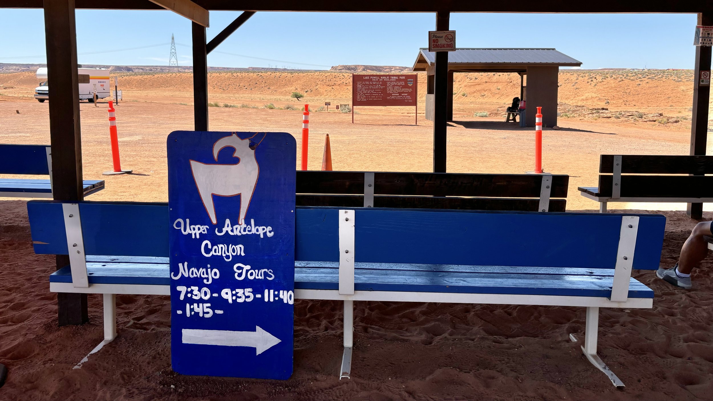
Signs have a way of nudging us to unexpected places, if we take the time to follow them.

tragnark
best means for travel

Grand Canyon Railway connects Grand Canyon Village to WIlliams. I stopped by to witness the other end of the tracks for the line and passengers.

Initially, the main line west was built from Chicago to Los Angeles and it passed through Williams, Arizona. The Railroad was originally built to transport ore in the Wild West from the Anita mines, 45 miles north of Williams, in the late 1800s.

You board and arrive through a terminal that requires a National Park Pass with an ID. It is a fun reminder of where the ride takes place.

Outside of the terminal there are historical artifacts for all to enjoy.

Jake No. 017 is a 105-year old car that passed through ownership of several companies until lastly serving with the Copper Basin Railway. After being retired from the fleet, Jake Jacobson, whom the train car is named after, secured it for his personal use.

Cog 4 ran on the Manatou and Pikes Peak Railway, which is the highest railway in the United States, and the highest rack railway in the world. That would be the reason for the aggressive incline of the axels and wheels underneath.

Knowing the terrain determines the best means for travel.

tragnark
geological topographical ingenuity

A final stop for this visit to Grand Canyon, the Yavapai Geology Museum hosts models bi-sected by geological strata and time periods. It also showcases forerunners of a curious mind from the 19th and 20th century.

The topological relief map orients your point of view by sight as well as touch. The long and curved panoramic glass wall sits behind the map for easy reference between the abstract and natural.

I took a step outside of the museum onto the walkway for a final look. Geology, topography, and human ingenuity stack onto previous layers pressed by time. There is something steadfastly intentional and genuinely grand about that.

tragnark
gc railway, bright angel trail, kolb studio

Staying on South Village Loop brings you at a crossing for Grand Canyon Railway. It connects to various relay points around the park as well as a ferry to Williams. I set a reminder to check out the WIlliams Train Station before leaving the area.

After the crossing, Bright Angel Trailhead starts, hugging along the South Rim. Continuing along the pathway eventually leads to the historical Kolb Studio.

This is the Victorian era home of the Kolb Brothers who created a lasting legacy of adventure, exploration, family love, and amazing Grand Canyon photography that will last as long as the canyon itself.

Stepping into the lower level of the cliff dwelling opens to a gallery of artifacts, canvases, and archived stories encapsulating their lifelong pursuit of creative documentation.

Photographers Emery and Ellsworth Kolb helped turn the Grand Canyon into a national icon. The brothers began to take photographs of the mule riders from a small toll shack on the Bright Angel Trail. The toll shack would later become today's five story home, theater and photo studio built right on the edge of the canyon! The studio was used to document the trips of visitors and create imagery of Grand Canyon for 75 years.

After exiting from the lower level, you can see the studio from the opposite side, and walk down to the overlook to view the Havasupai Gardens.

The Gardens are like a colorful yarn connecting one plane of elevation to another. In 2022 the Gardens were renamed to accurately communicate the legacy of the Havasupai Tribe, and bridge understanding to those enjoying it today.

tragnark
pioneer cemetery, hopi house

State Route 64 North heads back up into the Grand Canyon Village. From that point you can navigate in a circular loop through the many historical landmarks in the park. I stopped by the National Park Headquarters to pick up a map of the area and get guidance and tips from the Rangers.

Behind the building is the Pioneer Cemetary, which serves as a final resting place to many involved in the development and protection of the location.

People interred at the cemetery include Grand Canyon pioneers, war veterans, tribal members, and employees of the park concessionaires, US Forest Service, and National Park Service.

This grave marker caught my eye, as it was made from a piece of petrified wood. A unique monument of memorabilia.

A little further west along South Entrance Road takes you to the next section of historical buildings and views. The Hopi House is designed in an authentic Pueblo style by Mary Colter, who is also responsible for the Desert View Watchtower at the east entrance.

Mary Colter designed the building to resemble a Hopi dwelling similar to those at Oraibi, Arizona. In its early years, Hopi House was an actual dwelling - some of the Hopis who worked in the building lived on the upper floors.

Both floors are dedicated to showcasing and selling arts and crafts of the Hopi in the area. Something about “building from the past” inspires appeal. It implies a present moment where the oration of history speaks a vision into the future.

Whether it’s a cemetery to honor those critical to the building of a place for others to enjoy, or the traditions of a people that call their land home, there are always great stories that precede the ones we write.

tragnark
route 66 pocket

State Route 64 South leaves from Grand Canyon Village exit. About an hour drive takes you to the town of Williams, whose main street is made up of Route 66.

It's known as a gateway to Grand Canyon National Park via the Grand Canyon Railway. Historic Route 66 has Americana-style shops and restaurants dating back to the early 1900s.

Evening had set in shortly after, so I took a stroll up and down the center of town. About halfway down Main Street, tucked away in the corner of a historical building is the Grand Canyon Hotel. It’s the oldest hotel in the state of Arizona. It was time to turn in and recharge.

The Historic Grand Canyon Hotel is a small, family and American owned and operated business. The hotel itself was originally established in 1891 and has a long history as one the area's great jewels.

The following morning the air was cool and crispy. A coffee and walk helped get the circulation moving. I refueled at the Route 66 Gas Station before heading back to the Grand Canyon Village.

Despite US re-routing traffic in favor of modern interstate systems, I like the little towns that continue curating their pocket dimension for others to enjoy and experience.

tragnark
moran point, grandview point, twin overlook

The last three broad vistas before Grand Canyon Village are Moran, Grandview, and Twin.

Moran Point is named for Thomas Moran, an artist well known for his landscape paintings of the western United States. His work helped to create many national parks.

Grandview Point sits at mid-point between the Desert View Watchtower and Grand Canyon Village. Activity here is higher, as it also connects to a series of trails leading to Horseshoe Mesa and the river. Until the turn of the 20th century, this was the most popular destination in the entire park.

The Grandview Trail starts here at the scenic overlook and plunges steeply into the canyon. Originally constructed in the late 1800s, this trail served mining operations, enabling the transport of copper ore using burros and mules.

The rain cloud was closing distance. It was likely to be overhead in about 15 minutes.

The rainstorm had finally arrived, bringing gusty winds and 45 degree raindrops. Before heading to the south exit for evening rest on Route 66, I took in one last view of Twin Overlook.

It’s mesmerizing how every stop along the South Rim can be stared at and appreciated.

tragnark
navajo point, lipin point

Arizona Route 64 West takes you along the southern rim of the canyon with two nearby overlooks, Navajo and Lipin, each with their own features and stories.

Navajo Point is the first stop west from the Watchtower, with views of the Colorado River and Tribal Land further northeast.

Several tribes still live in and around the canyon, honoring their ancient connection to this place. Their history was not recorded in books, but lives in their traditions and oral accounts. Their ties to Grand Canyon are born of intimate knowledge and wisdom gained over thousands of years.

Lipan Point showcases some of the most expansive views along the South Rim, as well as the longest perspective of the Colorado River. It also hosted terraforming and farming in the Unkar Delta.

Beans, squash, and cotton grew between scattered houses and storage buildings in Unkar Delta's carefully tended and terraced fields. The ancestral Puebloans knew this land well.

With the correct guidance and charts, it’s illuminating to track along the river and see where others inhabit, manage, and have lived on the land. It’s never belonged to any group, rather passed through time from one to the next.

tragnark
desert view watchtower

The Desert View Watchtower is an architectural achievement, standing above the east side of the Grand Canyon. Recognized as a National Historic Landmark, it was constructed in 1932.

Architect Mary Colter’s design takes its influences from the architecture of the Ancestral Puebloan people of the Colorado Plateau. This particular tower was patterned after those found at Hovenweep and the Round Tower of Mesa Verde. Colter indicated that it was not a copy of any that she had seen, but rather modeled from several.

At the base of the tower is a terrace that shoots over the canyon ledge. On a pedestal is a quote from naturalist John Muir that summarizes the environs accurately.

In the supreme flaming glory of sunset the whole canyon is transfigured as if the life and light of centuries of sunshine stored up in the rocks was now being poured forth as from one glorious fountain, flooding both earth and sky.

To ascend you must reserve a spot about an hour ahead. I received my ticket and returned at the designated time.

The tower is four levels high, with the first designated as the “Hopi Floor”

A large circular painting depicts the “Snake Legend”. Numerous wall paintings including those of Muyingwa or the god of germination; symbol of the women’s secret society - Lalakontu, a Hopi wedding scene, the little war god Pookongahoya, and Boloongahoya the god of echo

Level 2 and 3 are devoted to replicas of petroglyphs and pictographs of Mimbres Pottery, sun shield and animals decorating the rock and walls of the Painted Desert Betatakin and Keet Seel Cliff, dwellings of Arizona, and many other important sites of the southwest.

The top level brings you closest to the dome artwork, topping out at an elevation of 7522 feet, the highest point along the South Rim. Several 40 power binoculars are mounted in front of windows, opening visibility to the Colorado River, San Francisco Peaks 14 miles to the south, Tuba City 30 miles to the east, and Navajo Moutain 85 miles to the northeast.

While stepping down towards the exit, you can visit the terrace on the 2nd level for a final look. Watchtowers have a way of showing what we need to appreciate the bigger picture.

tragnark
gate between gaps

Route 89 South takes you from Marble Canyon to the east entrance of Grand Canyon.

Antelope Pass to Bitter Springs is a dramatic v-cut and grade, dropping 1000 feet over 3 miles. The transition is like a stratospheric door, with the other side leveling to pronounced shadows on sloping hills below.

Route 89 South eventually intersects with State Route 64 West. At this point signs for Grand Canyon populate roadside, as the horizon line gains a swell in elevation.

With it, an anticipation begins building for high vistas, natural science, and history lessons.

tragnark
antelope canyon walk about

South of Paige on State Route 98 East is Antelop Canyon, a place of sacred significance to the Navajo, divided by an upper and lower section. To visit you must have a tour guide. I decided on the Upper Canyon and Antelope Canyon Navajo Tours. At the designated time, a fleet of lifted trucks arrive to take everyone to the indescript entrance.

To the Navajo, we call the Upper Antelope Canyon – Tsé’bighanilí – which means “The place where water runs through.” For Lower Antelope Canyon, we call this place Hasdestwazi – which means “Spiral Rock Arches.”

Before entering the first section, the Navajo guide asked us to pause for a moment. Someone with a crown was standing under the shaft of light at the entryway. He explained that she is the crowned Miss Navajo Nation.

In keeping with Navajo culture and tradition, the role of Miss Navajo Nation is to exemplify the essence and characters of First Woman, White Shell Woman, and Changing Woman and to display leadership as the Goodwill Ambassador.

We proceeded through the first section of the canyon. The transitions are unique and otherworldly. It is like pushing through an organic passage into another reality. On the other side is a second chamber, with a shaft of light casting a warm halo across everyone’s head as they pass through.

After the second chamber, the light recedes to murmurs, effortlessly winking from one silhouette into another. The return to light is punctuated by a tumbleweed pinched between two high edges of the passage.

The third section of the Upper Canyon reveals a final chamber. The exit returns from wind carved gateways to the familiar sand and shrubbery.

Looking back, one would never know of the hidden world in the escarpment. Walking about is the only way to find them. That’s why every step is important, where ever we are.

tragnark
horseshoe reflection

Southwest of Paige in the Ferry Swale Canyon is a walkway down to a significant turn in the Colorado River: Horseshoe Bend. A crowd had gathered, anticipating the overlook against the red rock sunset.

Below the rim, the Colorado River makes a wide sweep around a sandstone escarpment. On its long downward journey to the sea, the river meandered, sometimes making wide bends, but always seeking the path of least resistance. Over time, the rivers cut through the uplifted layers of sandstone.

Waiting 45 minutes brought the sun to an edge with the horizon line, sharpening images in the water below. I stepped along the unpopulated perimeter of the canyon, breathing in the crisp desert and river air, reflecting on the beauty of the evening.

tragnark