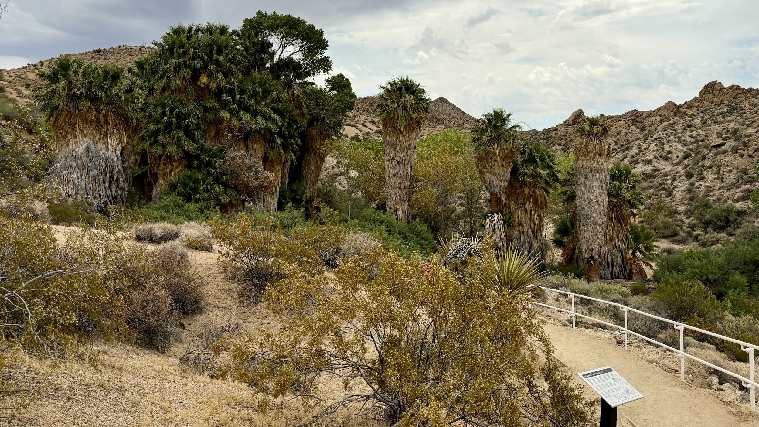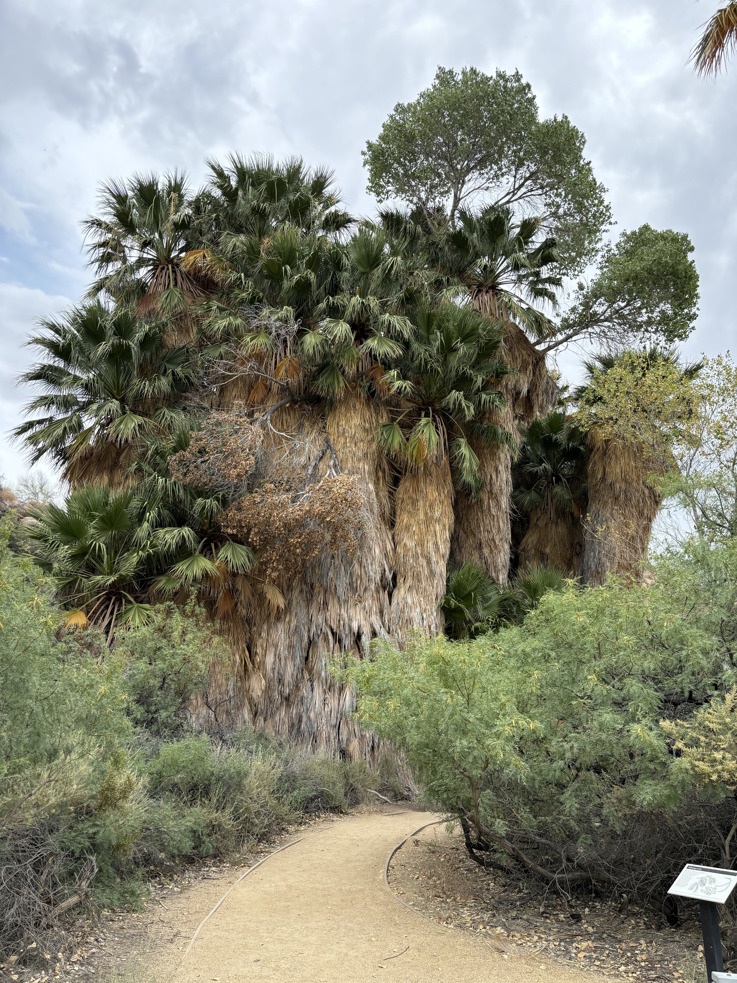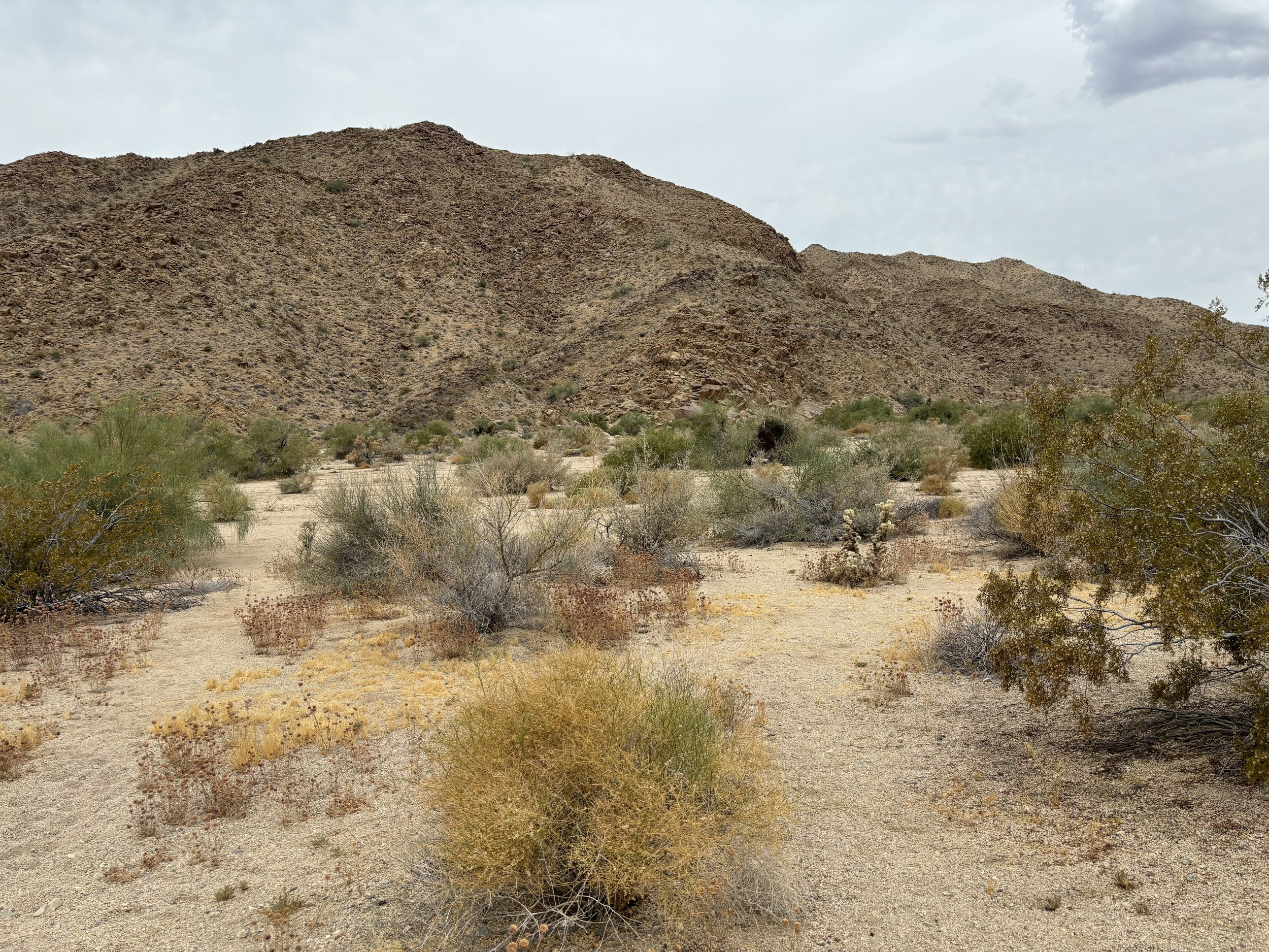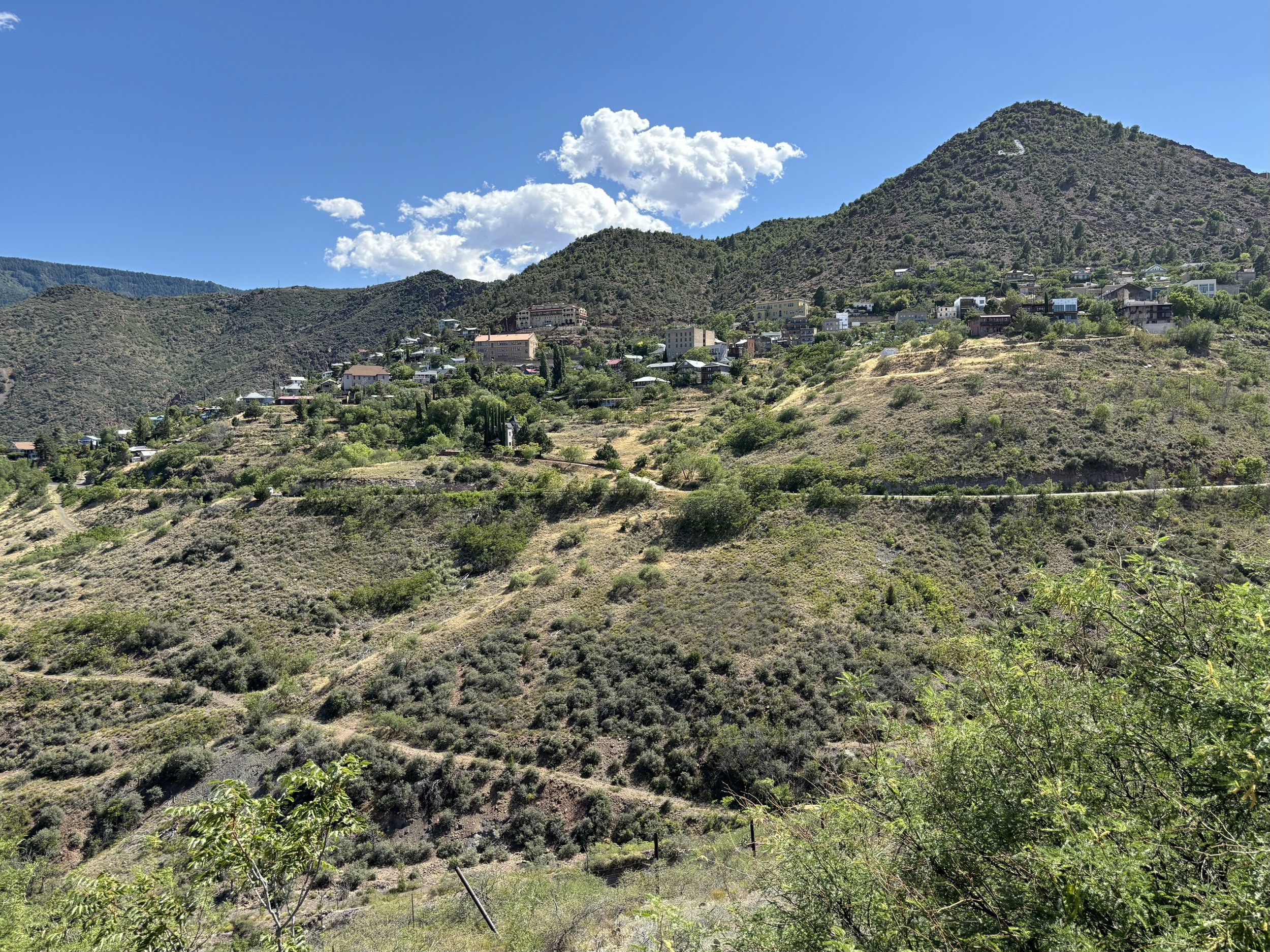
Continuing on Pinto Basin Rd takes you through the Hexie Mountains Zone. A nearby road sign reminds all that they are “only a visitor”. There is something very humbling about that.
A wilderness is an area where the earth and its community of life are untrammeled by man, where man himself is a visitor who does not remain.
-Wilderness Act, 1964

At the intersection of Old Dale Rd and Black Eagle Mine Rd, the air became thick with precipitation. You can feel the pressure build in the ear drums before it falls out here. Must be the combination of drier air and higher elevation.
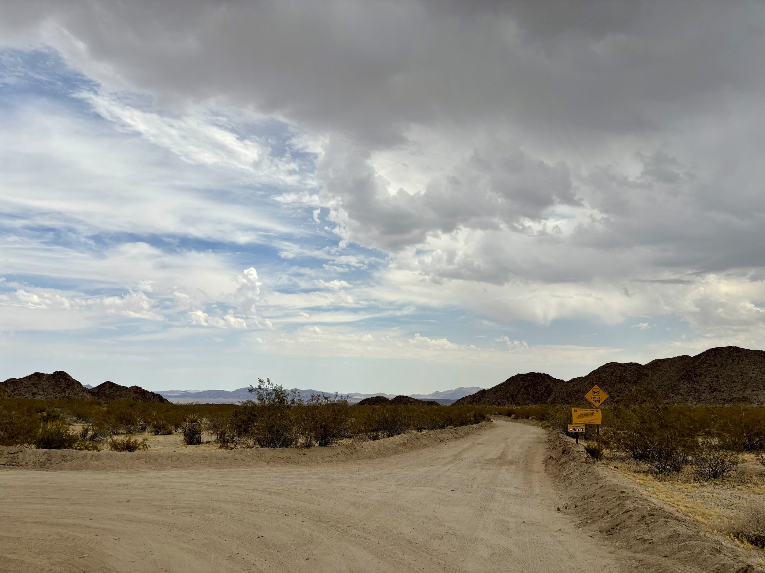

Then, it just started descending. Chunky and fast, with a sweet and pleasant odor of the cactuses and brush; distinct from anything I’ve smelled before.
I took a video as the rain started to fall, and stood under it a few more minutes to drink in water straight from the sky. I don’t recall doing that since being a kid.