mexican hat
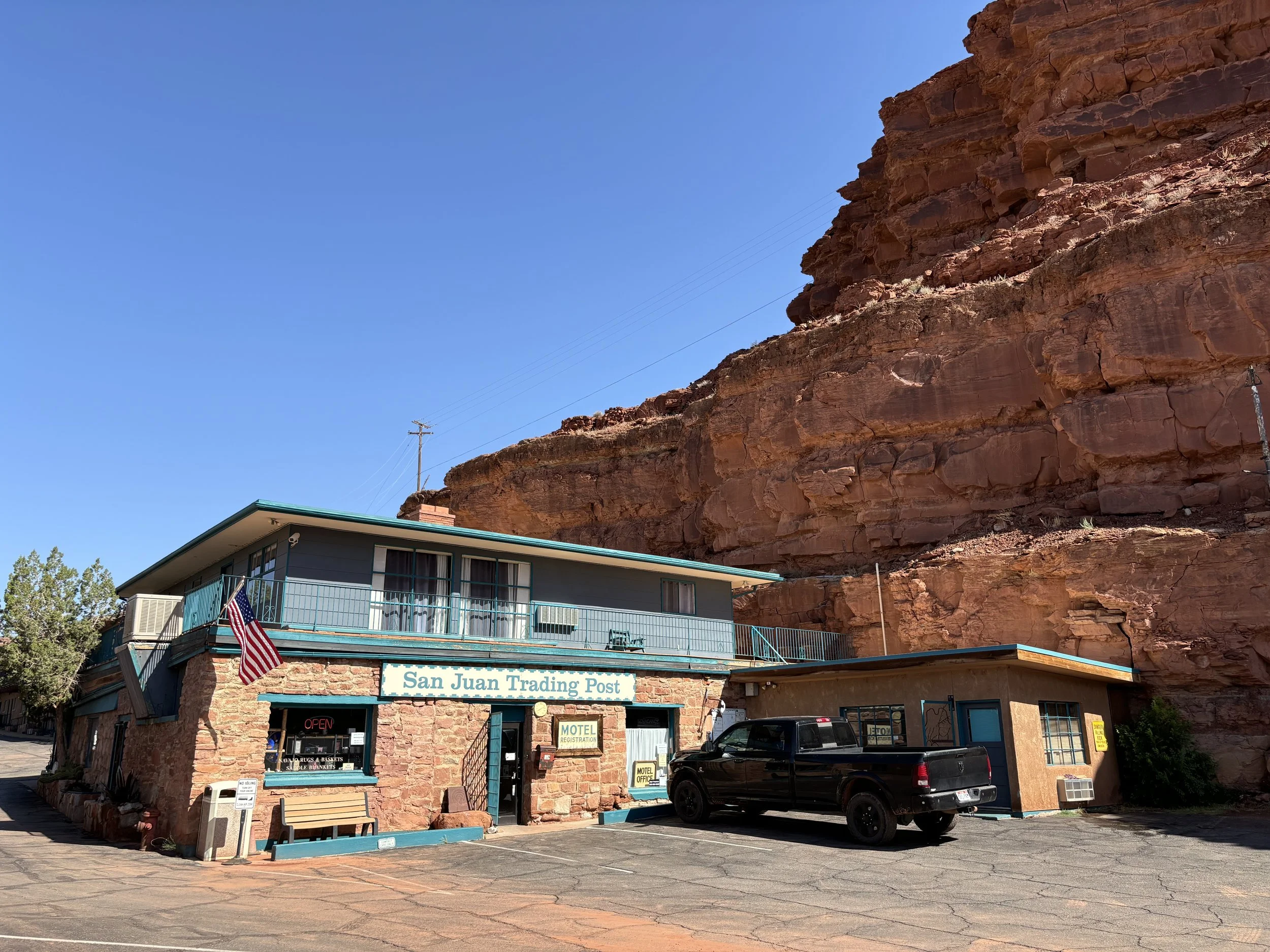
I had arrived in south east Utah, at the San Juan Inn. It’s off of the 163 where the San Juan River snakes through the desert. I started the day off with a cup of coffee, and noticed that the water line seemed a bit high and muddy. The person working in the kitchen informed me that there was a flash flood the day before, the worst they had seen in months, and to be cautious as sections of roadway had washed out due to the clay soil and sand.
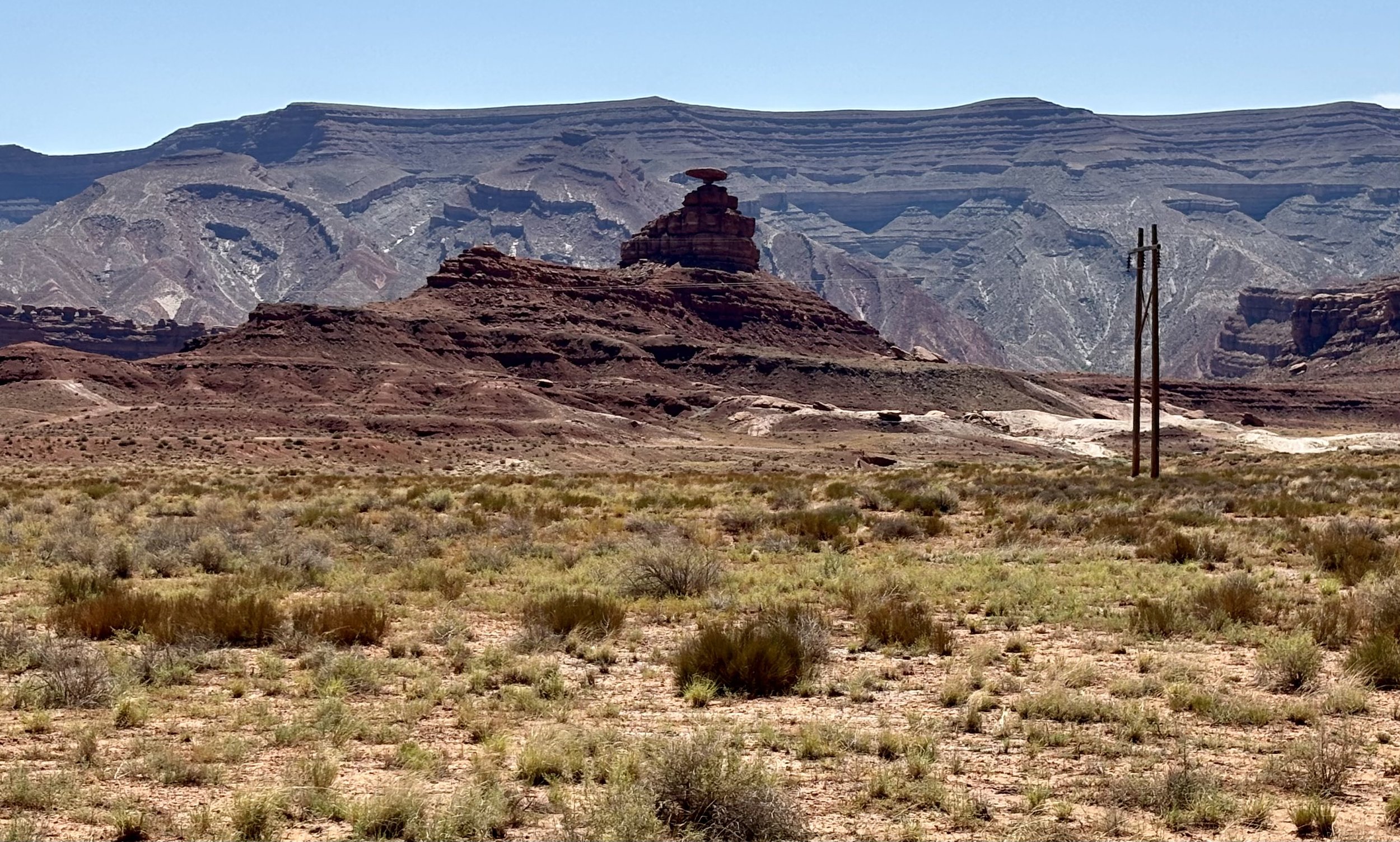
Taking the warning into consideration, the exploration was on its way. The first place I stopped by was the rock formation the area was named after, Mexican Hat Rock.
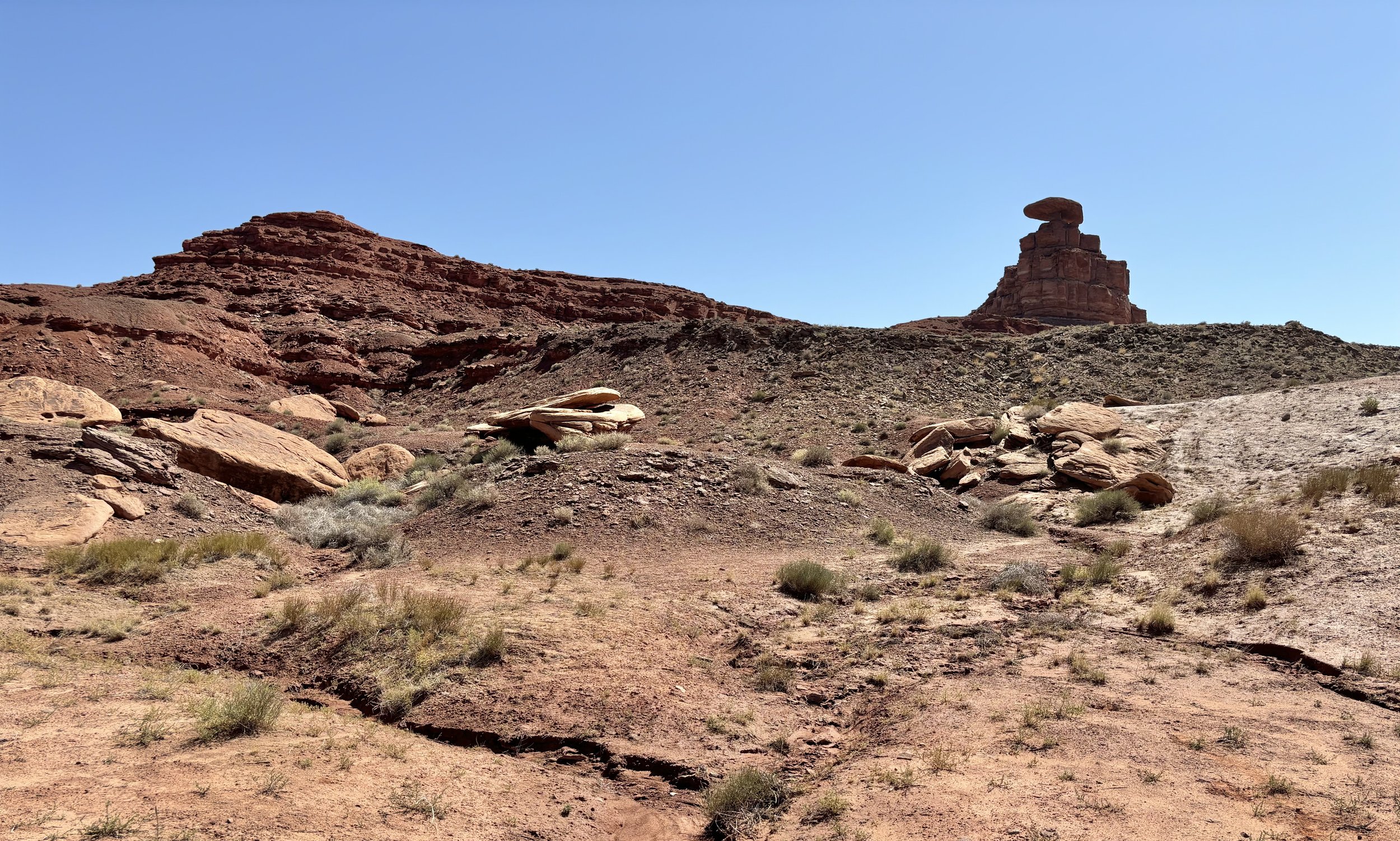
The Hat Rock measures 60-foot (18 m) wide by 12-foot (3.7 m). The "Hat" has two rock climbing routes ascending it.
Hiking to the underside revealed the unusual balance and weathering pattern that resulted in the flat circular disk balanced on the ziggurat-like foundation supporting it.
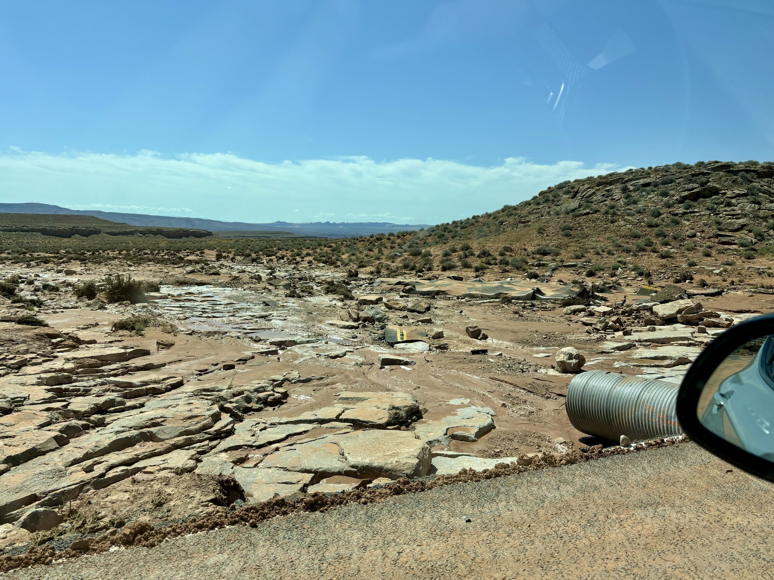
Afterwards, I starting heading to Goosenecks State Park. It seemed the advice from the person at the kitchen was accurate. A 50 yard section of the road to the entryway was washed out and caked in a slippery sheet of mud. Giant chunks of asphalt were strewn to the left downhill and downstream.
The soil was still precarious and soft, but the all-wheel drive got me to the other side ok. Sometimes if the destination is intriguing enough, you will take the risk to get there.


